Greetings from our course on the nexus between agriculture and technology. Master aerial technology for crop monitoring.
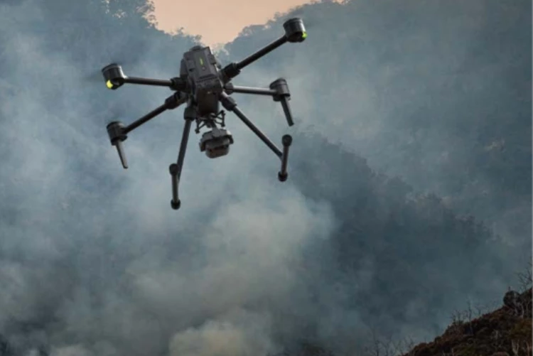
Gain essential skills in deploying drones for rapid response, aerial reconnaissance, and situational awareness during crises.
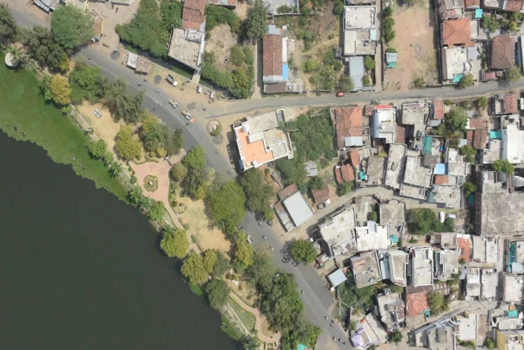
Our “GIS for Drone” course will help you discover the realm of Geographic Information System (GIS) operations and harness.
Gain the knowledge and abilities necessary to succeed in the thrilling field of drone racing by investigating and creating drones.
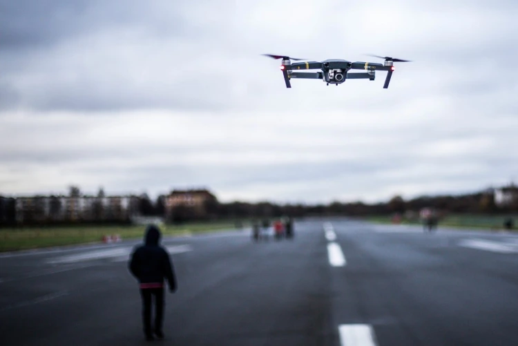
Greetings and welcome to our DGCA-approved Drone Pilot Training Course. Our goal is to surpass your expectations and turn you into the accomplished pilot you’ve always dreamed of becoming.
Experience a life-changing adventure that transcends traditional limits by learning to fly and capturing breathtaking drone photos.
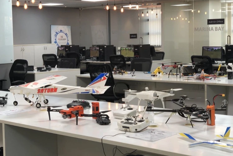
Step into our Drone Building Course, where we’ll equip you with the knowledge to construct your drone and master the dynamic realm.
Our course “Python For GIS” will show you how Python programming may be used in Geographic Information System.


